Encepta – Nisku and Sherwood Park High resolution Orthometric Image collection and Mobile LiDAR scanning
Project Overview
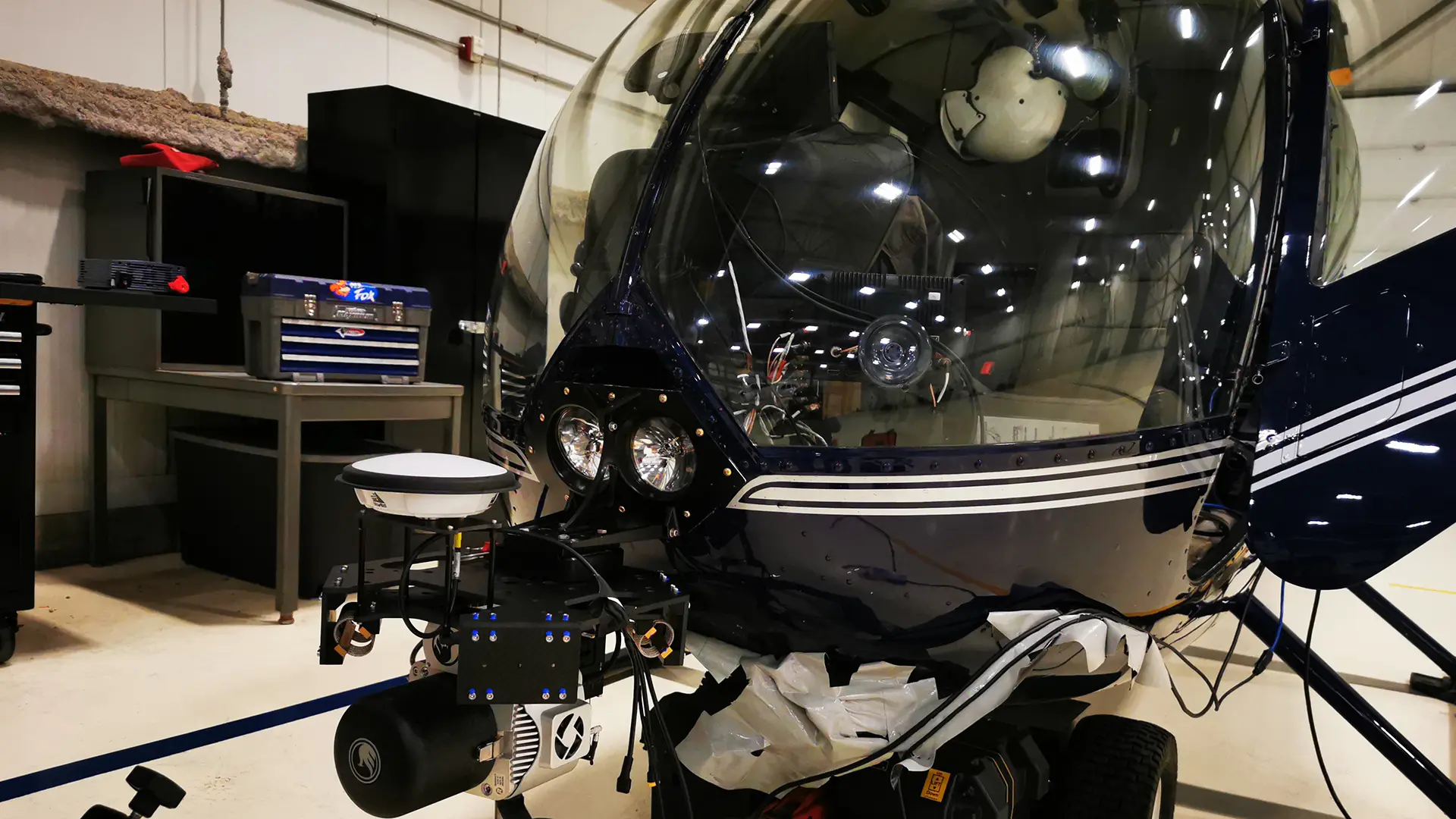
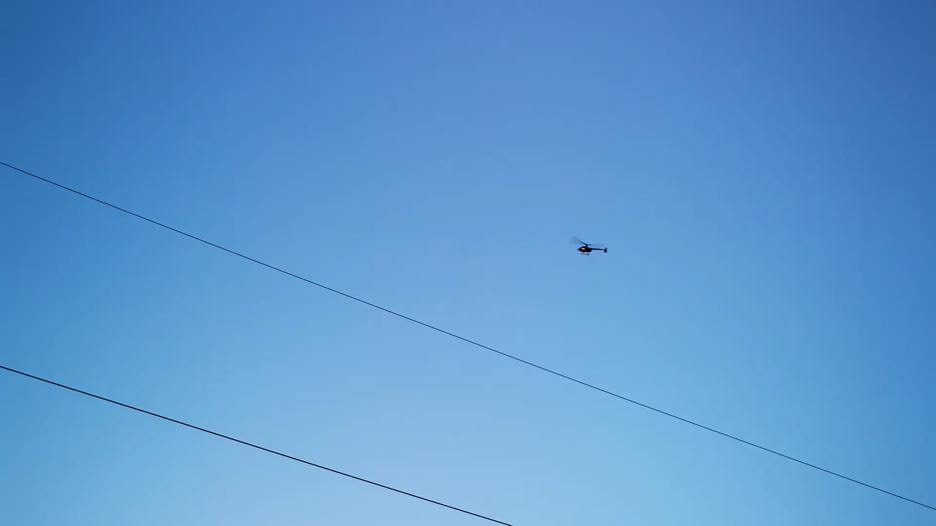
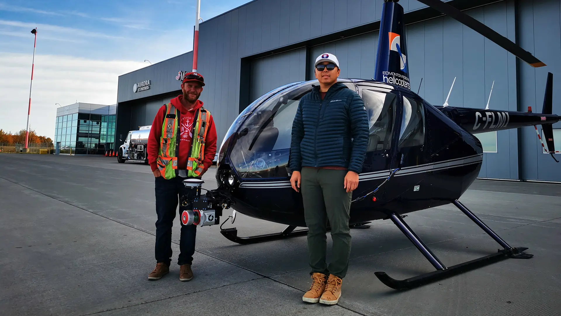
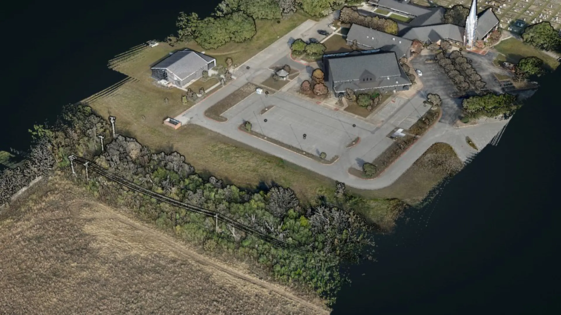
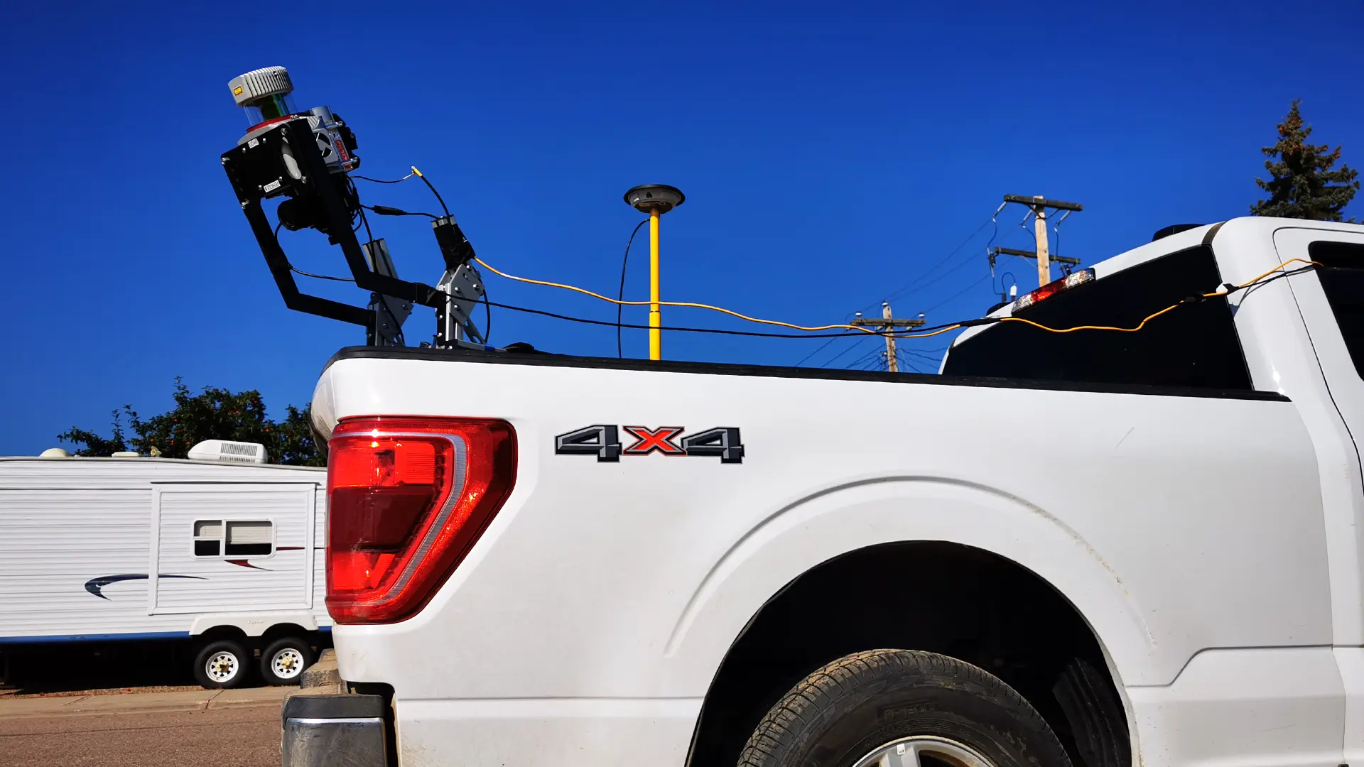
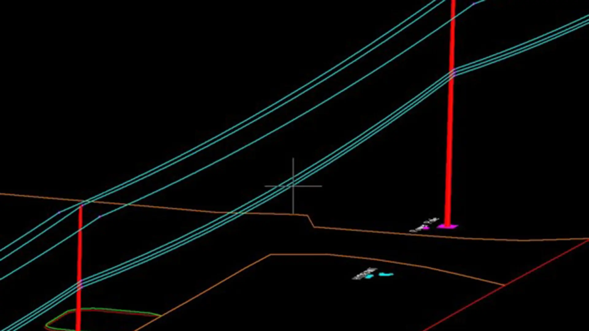
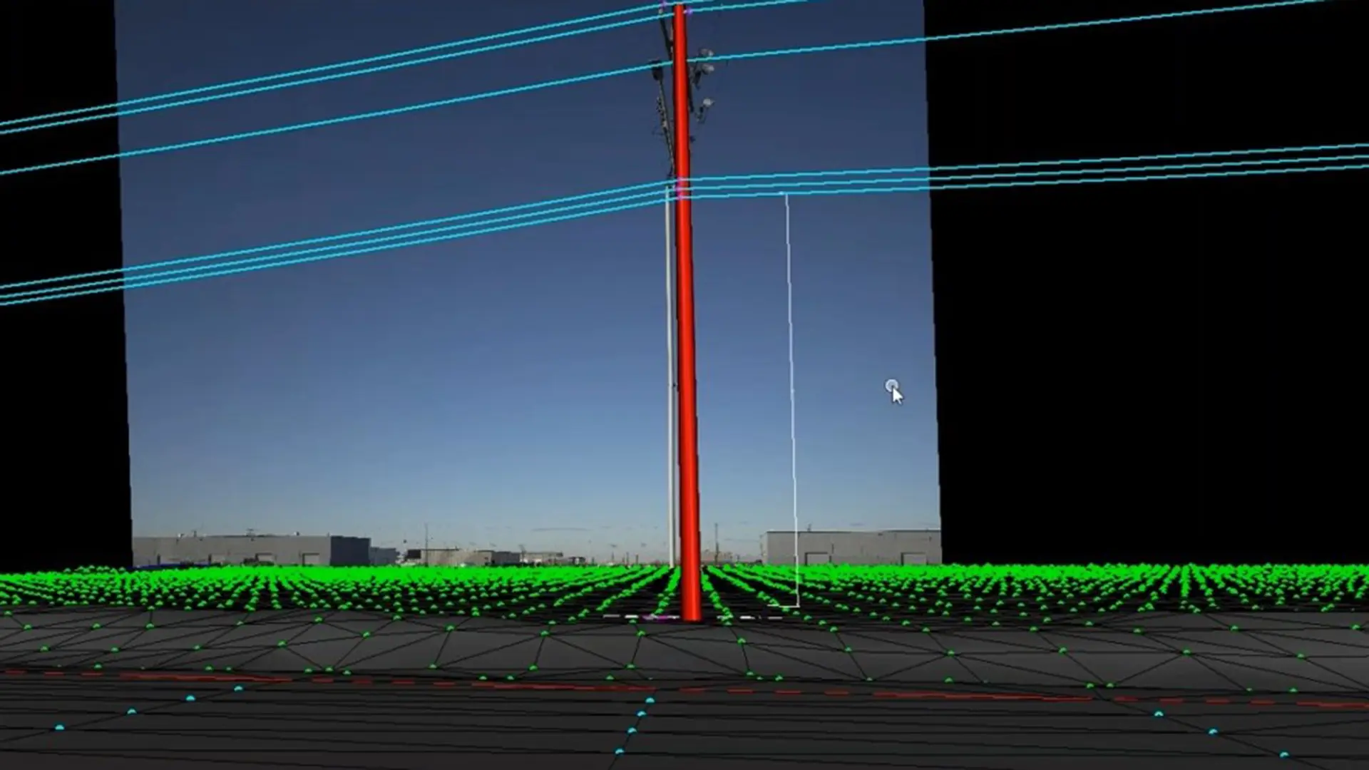
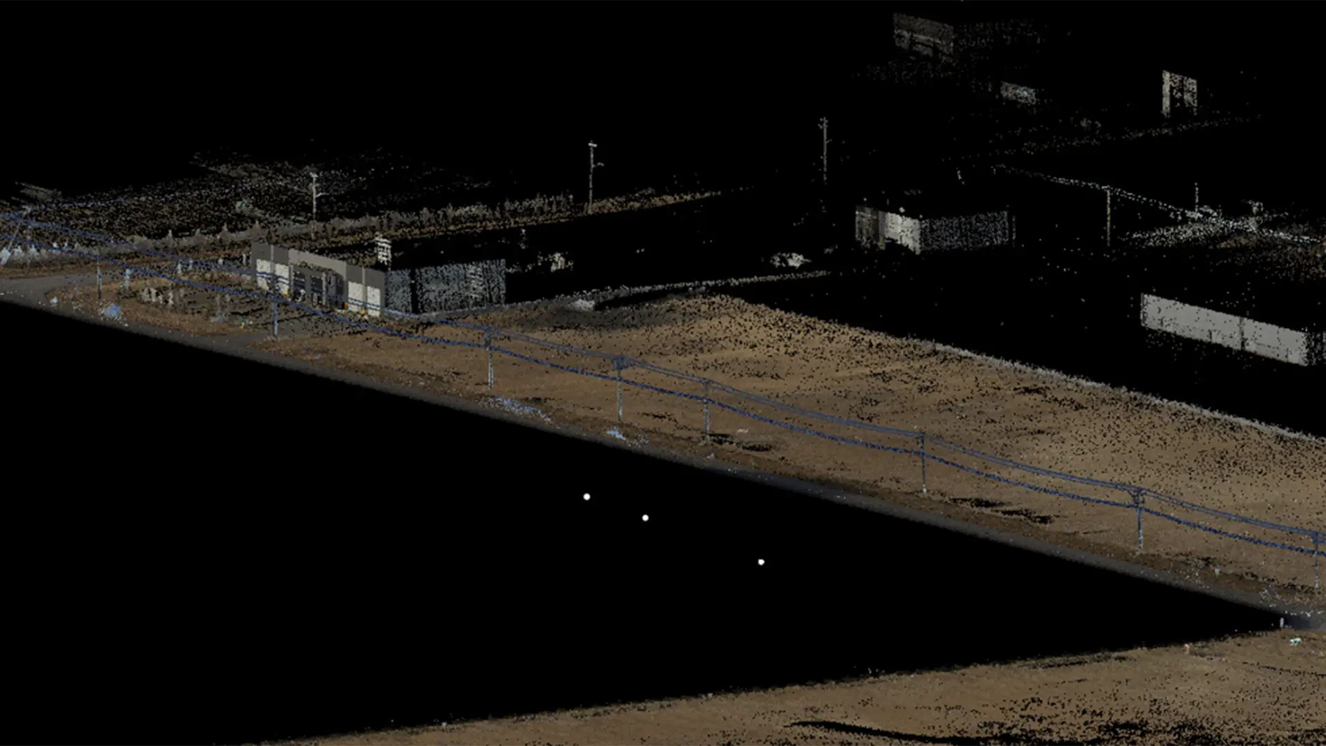
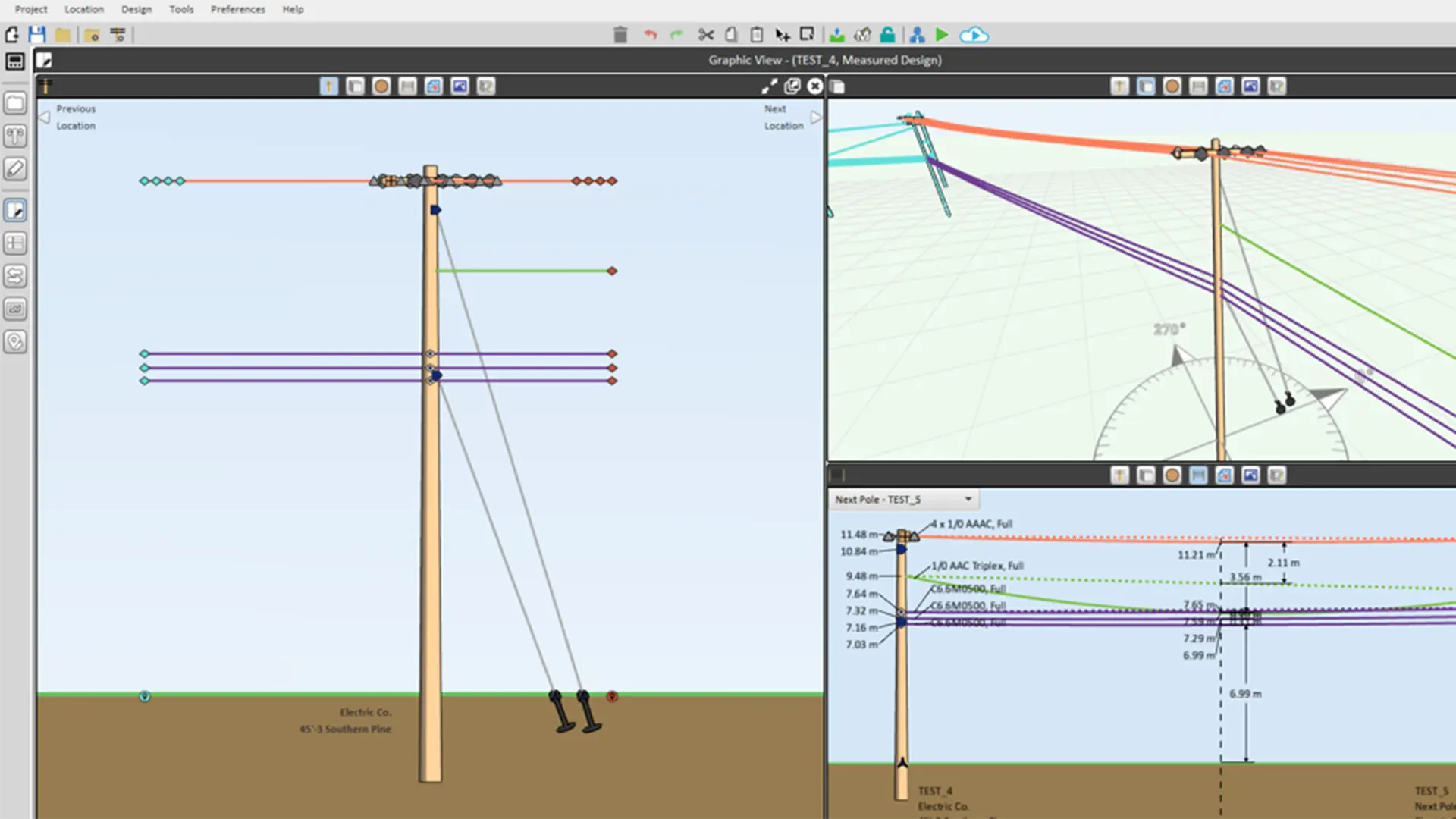
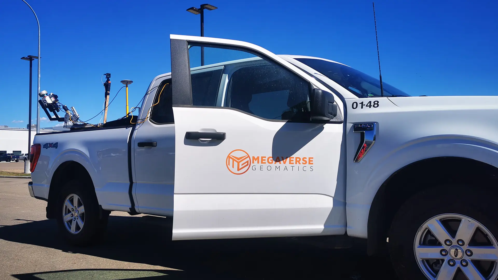
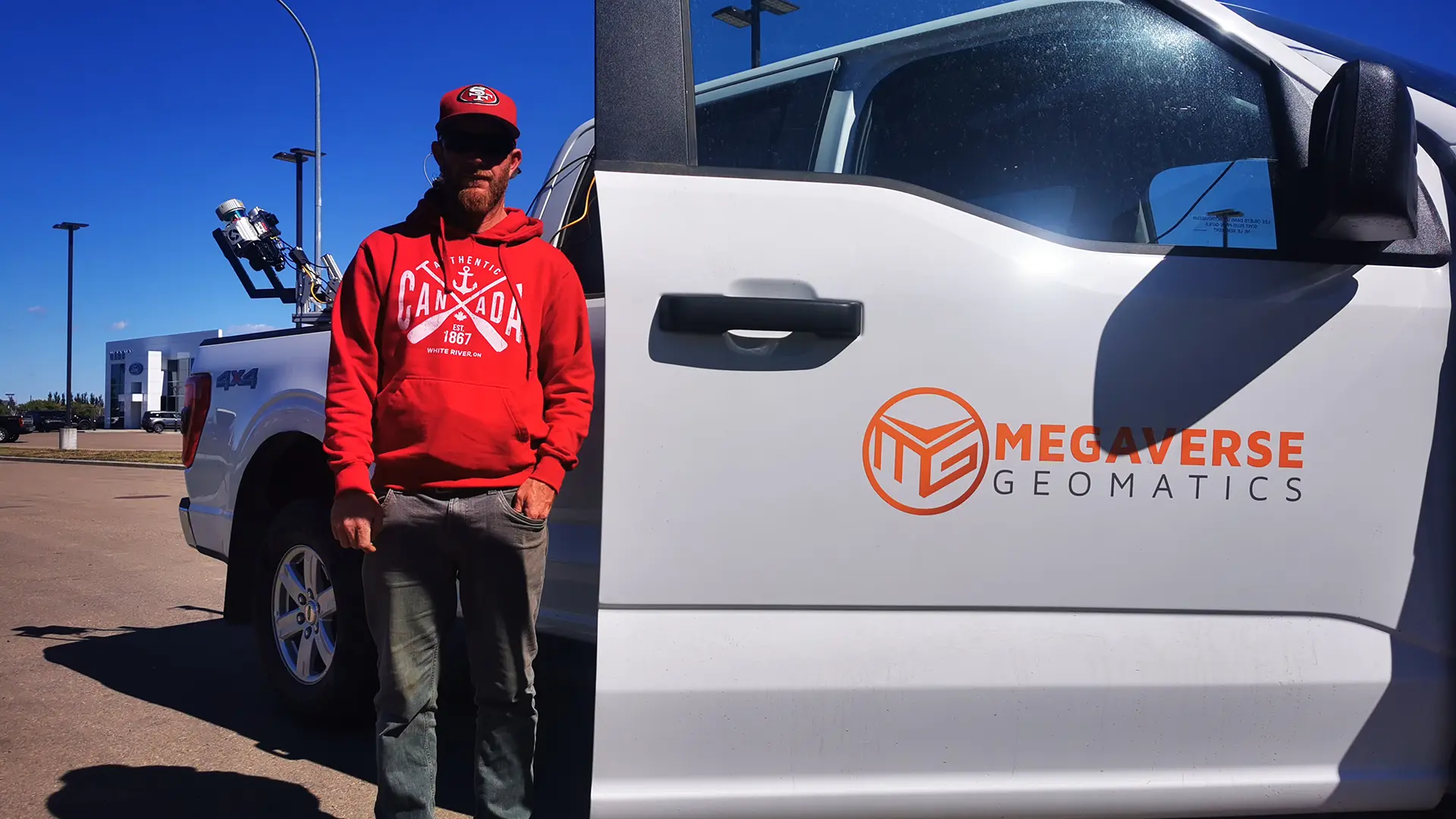
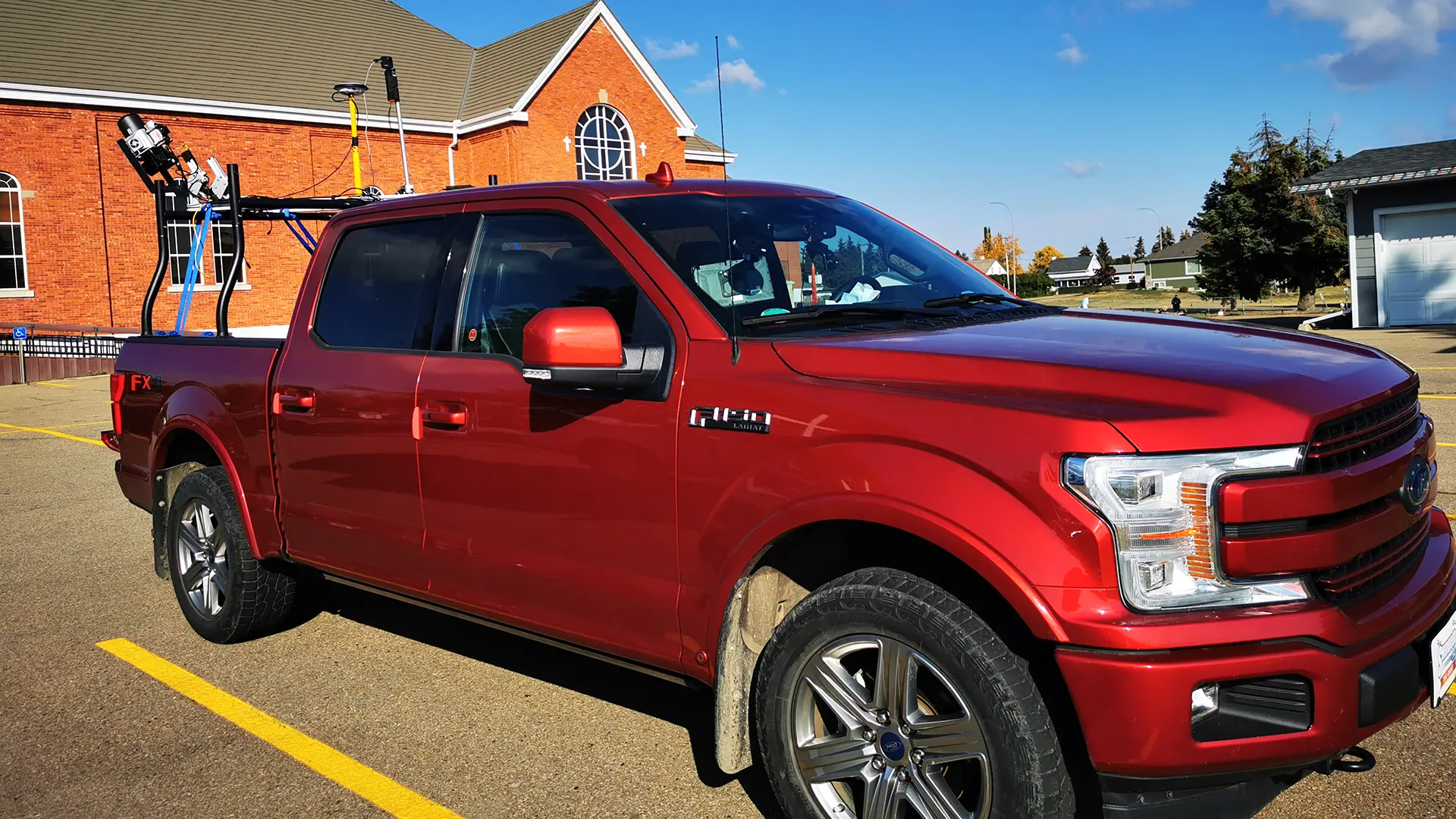
For this project, the work included Orthometric Image collection and Mobile LiDAR data collection in Nisku and Sherwood Park. We processed the large volume image and LiDAR data to rectify and create orthometric images, classify point clouds, extract continuous features such as the road, building, poles etc. and hosted them on our MVGL server for data access. We performed orthometric image data collection and mobile LiDAR scanning simultaneously from a helicopter which saved our clients time and money. We modelled the ground features using LiDAR point cloud incredibly accurately. Previously our client was receiving either orthometric images or point cloud from a single service, but we were able to provide both for a significantly lower cost. We provided high resolution Images, extracted features, classified point clouds, and online data hosting